Guides · St. George Island, Florida
Parks and Nature near St. George Island
The eastern end of this island is where the national ranking lives — **Dr. Julian G. Bruce St. George Island State Park**, rated 4.8 stars from 2,592 reviews at 1900 E Gulf Beach Dr, holds a beach that Dr. Beach named the best in the country in 2023. Forbes put it third a decade earlier, and that is worth one mention before we move on to the rest of the sand.
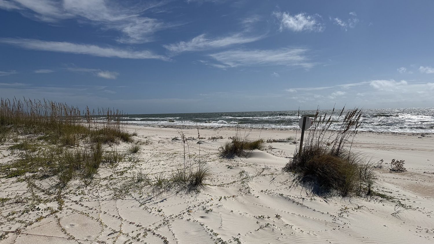
The park grew out of a 1,800-acre state purchase in 1973. It now anchors the island’s quiet tail, with Gulf frontage, bay side, and enough room that you can walk for an hour and still hear nothing but water. The parking lots fill early on summer weekends. Go anyway.
The public edge
Not everything requires a park entrance fee. Public beach access at 8W W Gorrie Dr sits right in the middle of things, rated 4.8 from 29 reviews. It is a straightforward walkway to the Gulf, no frills, and it serves the west end of the island well. A few blocks north, Unit 4 Recreation Area at 240 6th St E carries a 4.7 rating from 54 reviews — fewer people know about it, and that is the point. It is a small, practical launch and picnic spot on the bay side.
For a different angle, head to Regatta Park at 923 W Bay Shore Dr. The rating is a modest 4.3 from 19 reviews, but it is the only place on this list with a view of both the bay and the bridge that finally connected the island to the mainland. Remember: until 1960, the only way here was by ferry. The four-mile bridge to Eastpoint opened in the mid-1960s, and Regatta Park is where you feel that history in the water current.
Gulf Beach Park and the kayak launch
Gulf (of Mexico) Beach Park has no street address — it is simply listed under St. George Island, FL 32328 — and only 12 reviews, but the 4.6 rating holds up. It is a narrow strip of public access on the Gulf side, the kind of place you find by accident and return to on purpose. Do not expect amenities. Expect sand, wind, and the occasional dolphin.
On the north side, Sawyer Street Kayak Launch at 447 N Sawyer St is the quietest option on the island. Seven reviews, 4.6 stars. It is a kayak put-in on the bay, nothing more. The water here is shallow, warm, and protected from the Gulf swell, which makes it a sensible starting point for paddling toward the marsh grass and the birds that live in it. Bring your own boat; there is no rental shack.
And then there is the unnamed beach access at 1000 E Gorrie Dr. No rating, no review count, just a location. It is worth listing because it is the easternmost public walkway before the state park takes over. If you want to walk the shoreline without paying the park entrance fee, start here and head west.
What the numbers say about this place
The island’s census data tells you who comes here. Population: 1,218. Median age: 60.9. Of the 1,815 total housing units, 1,246 are vacant — but 534 of those are held for seasonal or recreational use, which means the island is not empty, just quiet for most of the year. The median home value is $628,500, and the median household income is $96,250. Sixty percent of residents hold a bachelor’s degree or higher. The unemployment rate is zero.
None of that matters when you are standing in the surf, but it explains why the parks are never crowded on a Tuesday in October.
One event worth planning around
The St. George Island Chili Cook-Off started more than forty years ago as a small fundraiser for the volunteer fire department. It is now an International Chili Society competition that draws cooks from across the country, and the proceeds still go to local emergency services. Expect a silent auction and the Red Pepper 5K. It is not a nature event, but it is the one day a year when the island’s human population feels larger than the bird population.
The light that still defines the cape
The island takes its name from Cape St. George at the western end, where the light was first built in 1833. That lighthouse was rebuilt two miles away in 1847-48, rebuilt again after an 1851 hurricane, decommissioned in 1994, and reconstructed after its foundation collapsed in 2005. The light no longer guides ships, but it still guides visitors toward the west end of the island. The best way to see it is on foot, starting from the public beach access and walking the shoreline as the sun drops.
The takeaway is simple. You do not need a plan to enjoy the outdoors here. Pick a number between 1 and 7 from the list above, drive to it, and walk. The island is nine miles long, and the parks are spread thin enough that you will rarely share your view. That is the real luxury — not the ranking, not the reviews, just the space.
Every business named above is one we hold a listing for, and every date traces to a source on our sources page. We do not describe menus, interiors or service we have not verified. Details change — confirm before you travel.