Guides · St. George Island, Florida
Why St. George Island Is Where It Is
The bridge changed everything. Before it, the island was a ferry ride away from the mainland, a place you had to plan to reach. The four-mile span to Eastpoint, completed in the mid-1960s, did not just connect pavement; it rewired the entire idea of the place.
A Name from a Warning
The island takes its name from the cape at its western end. Cape St. George. That is where the light was first built in 1833, a warning to ships navigating the shoals off Apalachicola Bay. The structure has had a hard life. It was rebuilt two miles away in 1847-48, then rebuilt again after an 1851 hurricane. It was decommissioned in 1994. Its foundation collapsed in 2005. It was reconstructed. The light that kept moving, as the town’s history puts it, is a stubborn fact of this geography.
The Numbers Say Something
The census figures tell a story that the real estate listings will not. There are 1,815 total housing units on the island. Of those, 1,246 are vacant. Only 534 are held for seasonal or recreational use. The population is 1,218 people. The median age is 60.9 years.
Read that again. The vacancy rate is not a sign of decay. It is a sign of how the island works. People come for the season. They leave. The permanent population is small, older, and, by the numbers, doing fine. The unemployment rate is 0 percent. Median household income is $96,250. Median home value is $628,500. Over 60 percent of residents hold a bachelor’s degree or higher.
This is not a working waterfront town. It is a place where people have chosen to be, often late in life, often with resources.
The Park Anchors the East End
The eastern end of the island is the reason most people know the name at all. Dr. Julian G. Bruce St. George Island State Park began with an 1,800-acre state purchase in 1973. The park has since expanded, but that original buy set the tone. It kept the east end from becoming a strip of condos.
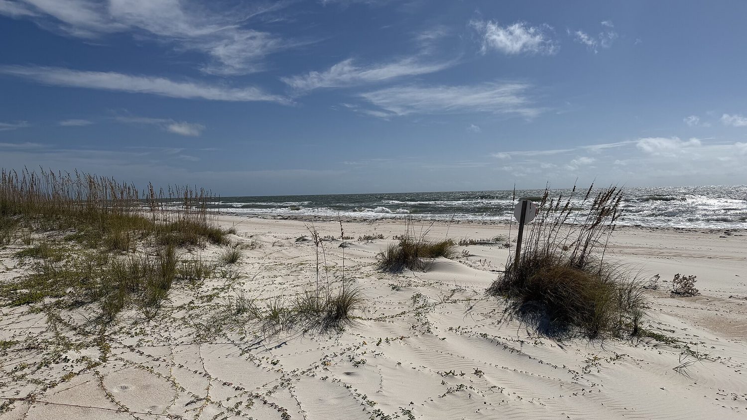
The beach there is the real deal. Dr. Beach rated it number one in the United States in 2023. Forbes had put it third in 2013. The ranking is real; mention it once and move on. The sand is white, the water is clear, and the park is big enough that you can walk for miles without seeing another person. That is the point.
The Water Behind the Beach
The island sits at the edge of Apalachicola Bay. The bay is the quieter, harder-working side of the geography. It is where the seafood comes from. Oysters above all, alongside scallops, grouper, flounder, redfish, snapper, trout and mullet. The bay has fed people here for a long time. It still does, even as the island’s economy has shifted toward second homes and short-term rentals.
The bridge made that shift possible. Before the mid-1960s, the ferry limited everything. You could not commute to a job in Apalachicola or Eastpoint. You could not easily bring building materials for a large house. The bridge changed the calculus. It made the island a suburb of the mainland, but a suburb with a state park at one end and a lighthouse story at the other.
A Cook-Off That Means Something
The annual event that draws the most outsiders is the St. George Island Chili Cook-Off. It started over forty years ago as a small fundraiser for the island’s volunteer fire department. The proceeds still go to local emergency services. It has grown into an International Chili Society competition, drawing cooks from across the country. There is a silent auction. There is the Red Pepper 5K.
It is easy to mock a chili cook-off as a tourist draw. But the origin matters. It was never about tourism. It was about paying for the fire truck. The fact that it became a national competition is incidental. The money still goes to the people who put out fires on an island with one road in and one road out.
Why It Is Where It Is
The island is not a resort. It is not a fishing village anymore. It is a narrow strip of sand with a state park, a reconstructed lighthouse, a bay full of oysters, and a housing stock that is mostly empty most of the year. The bridge made it accessible. The park made it worth protecting. The light made it historical.
The people who live here full-time are a minority. They are older, educated, and comfortable. They chose this place. The people who visit come for the beach, the park, the chili, or the quiet. They leave. The island stays.
It is where it is because the cape needed a light in 1833. Because the state bought 1,800 acres in 1973. Because a bridge was finished in the mid-1960s. Because the bay still produces. That is the whole story. There is no hidden gem here. There is just a barrier island that has been rebuilt, like its lighthouse, more than once.
Every business named above is one we hold a listing for, and every date traces to a source on our sources page. We do not describe menus, interiors or service we have not verified. Details change — confirm before you travel.